Driving the roads of the Smokies with Davy Crockett’s Spirit
12 September 2026
In September 2025, I decided to visit the Great Smoky Mountains National Park, taking advantage of a direct flight from New Haven to Knoxville, at the edge of the park. Indeed, after my trip to Katmai I was not in the mood for flying for several hours to visit a new location. I also did not want to carry a telephoto lens weighing 2 kilograms (around 4.4 pounds). Given these considerations, my decision was to visit the Great Smoky Mountains National Park, nicknamed the Smokies, which owes its name to the characteristic mist and fog that often surround its mountains. The Smokies is by far the most visited national park in the United States, and I knew that it was also the land of Davy Crockett, one of the fascinating characters of my childhood, even if he was a hunter. The park also has interesting wildlife for which a maximum focal length of 300 mm would have been sufficient, while being much lighter to carry.
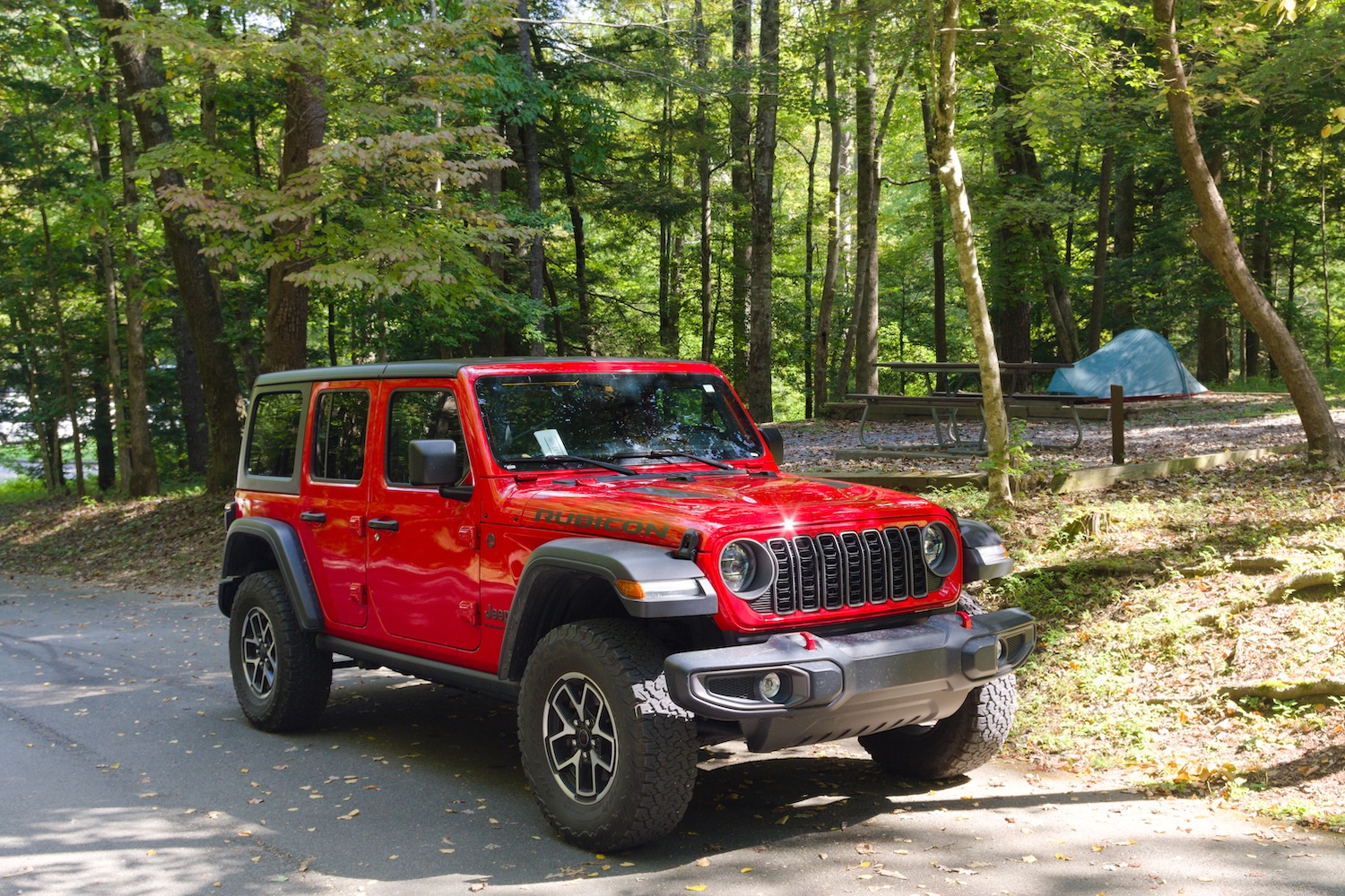
When I visit a national park, I prefer to explore it extensively (if I have the opportunity). I try to spend as much time as possible inside the park to get to know it better and avoid wasting time going in and out. To achieve this, with 9 days available and as a solo traveler sleeping in a tent, I rented a 4x4 (which is recommended if you want to take off-road paths) and booked campsites in different parts of the park, without the intention of spending more than 2 nights at the same one. This allowed me to reduce travel time when visiting the different areas. Indeed, I planned my itinerary to spend 2 nights in Cades Cove (northwest), 1 in Deep Creek (south), 2 in Smokemont (south), and the last 2 nights in Elkmont (north).
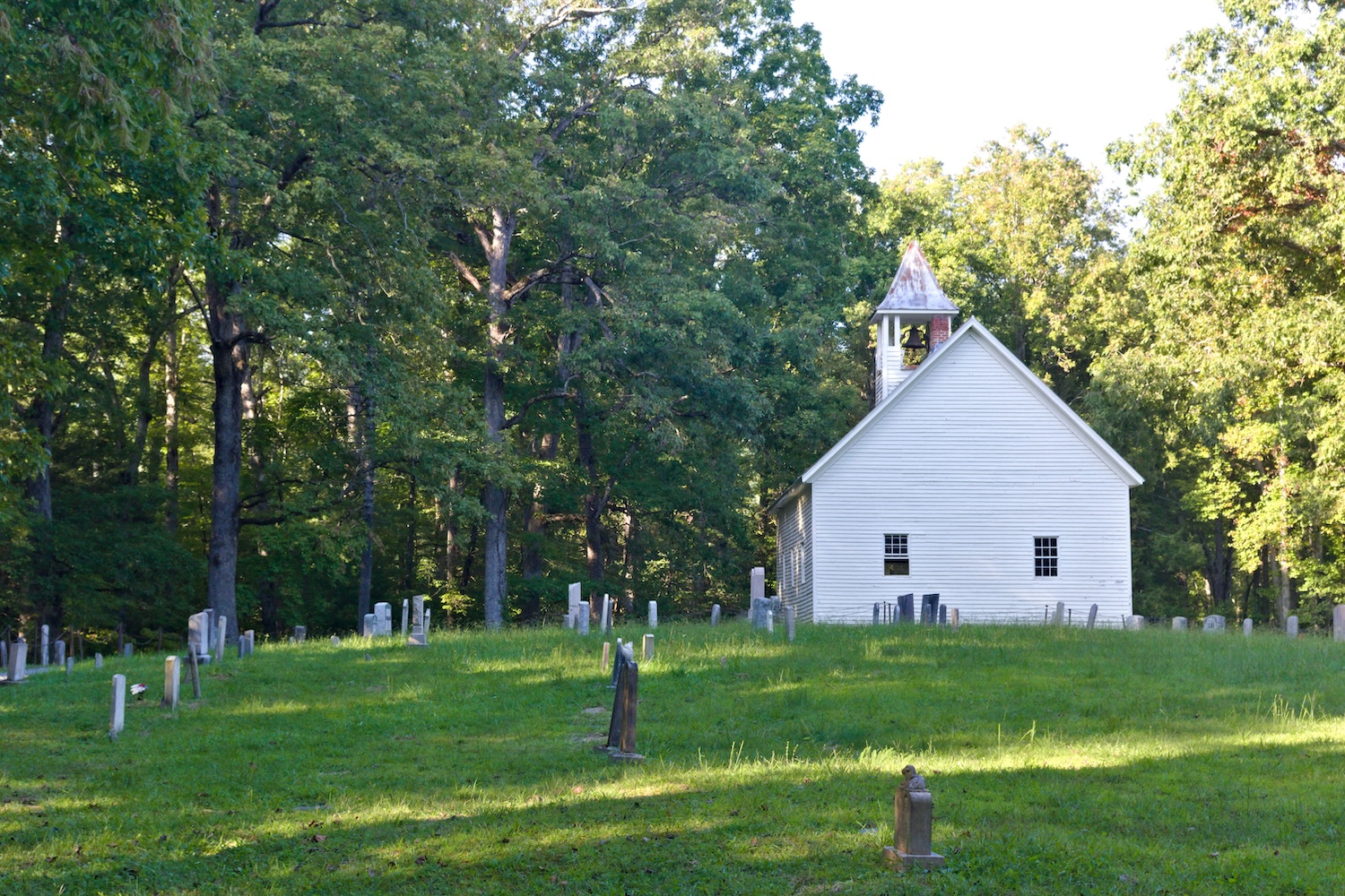
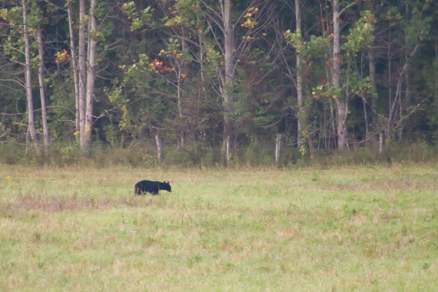
The first days around Cades Cove were spent exploring the different historical locations of the place and trying to get a decent photo of a black bear, since the area is also well known for its wildlife, which includes deer, turkeys, and coyotes. There, when the second evening I stopped my car at the top of a valley to admire the sunset, a group of coyotes started howling, giving me chills. While I was wondering the reason of their call, I spotted a black bear at the bottom of the valley, which was intent on finding something to eat. Then, on my way out of Cades Cove loop, a coyote pup was sitting just a few feet from the road, seemingly admiring the cars that were slowly moving.
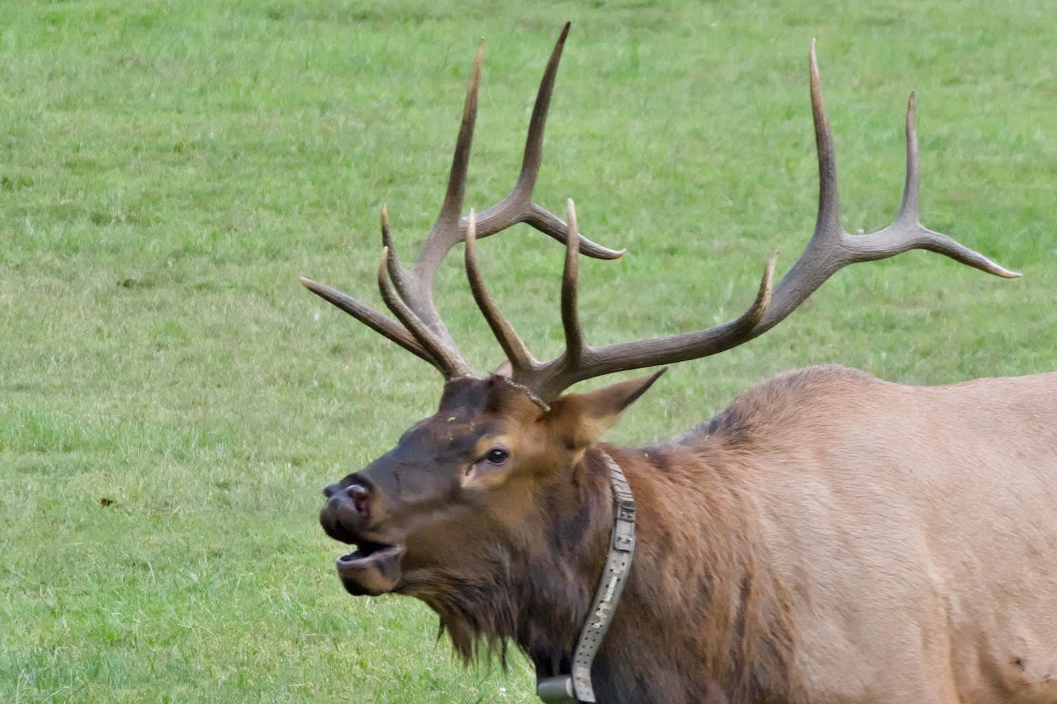
To move from Cades Cove, in the northwest of the park, to Deep Creek in the south, I decided to drive the Parson Branch Road. According to previous research, it is only open to go from north to south and is closed during the winter season. Then, I understood why. It started with a sign saying that 4x4 vehicles were strongly recommended and that driving the road was at your own risk. After a couple of initial turns in very difficult conditions, I had the mistaken arrogance to think that it had been fun and the worst was over. More than 30 minutes and 4 stream crossing later, I could not wait for the end of the road, sincerely hoping that the car would not break down in that remote area of the park. So I really celebrated when Parson Branch Road finally ended, about an hour after I had started. For the next night, I had chosen Deep Creek because of its proximity to a couple of waterfalls, Tom Branch Falls and Indian Creek Falls, where I could experiment with a neutral-density filter and long exposures to create a silky-water effect. Then, I moved to Smokemont campground, where, on the way, Oconaluftee Visitor Center is a great spot for observing elks (also called wapiti). Since it was late September, it was the beginning of their breeding season, the “rut”.
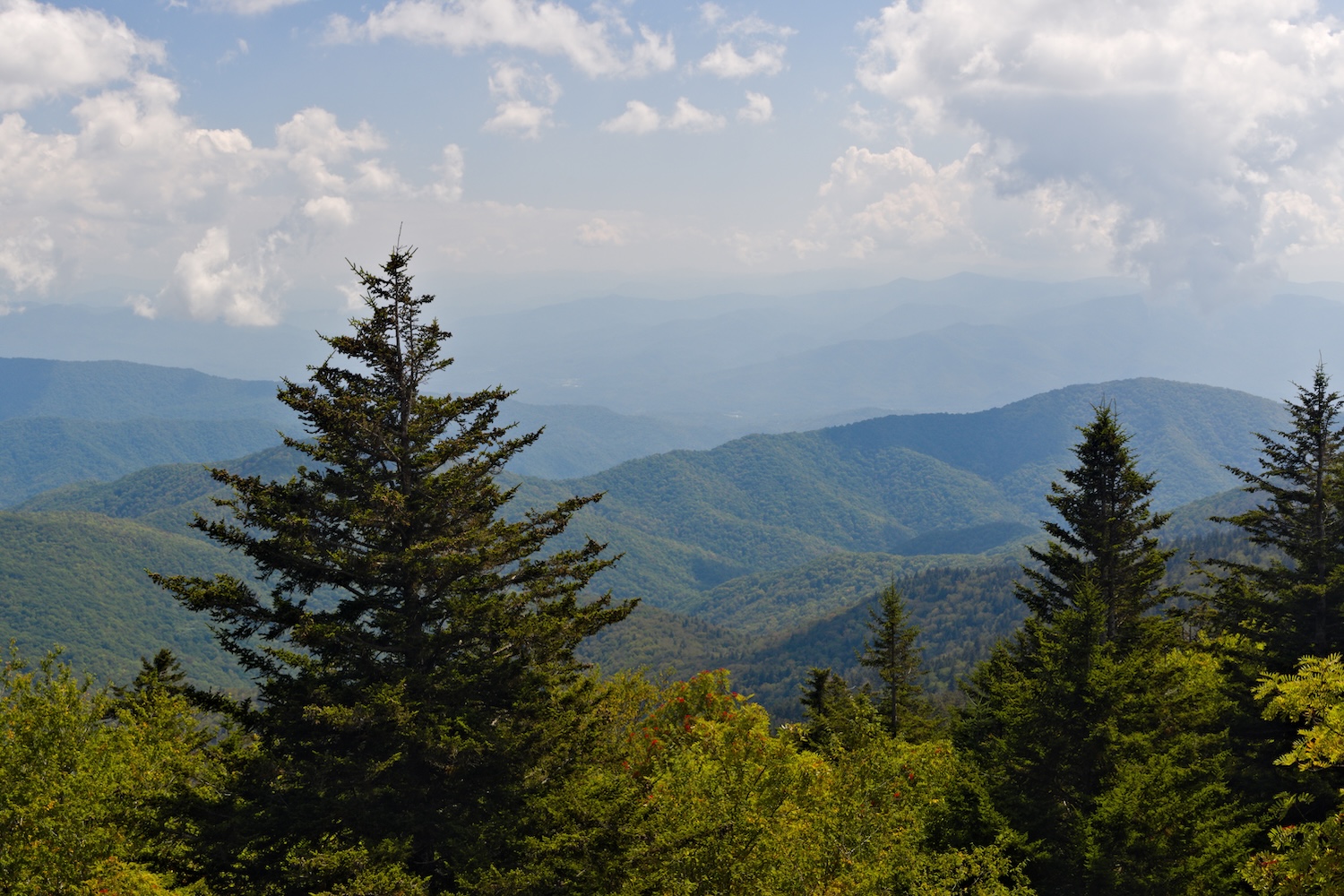
Smokemont campground is also in the southern part of the park, but it was the closest campground to reach Kuwohi Observation Tower. Driving up to the Kuwohi parking area, you can already admire the beautiful landscape of the Smokies from a higher than usual perspective. After parking the car, reaching the tower requires a short but fairly steep hike, which is also connected to the famous Appalachian Trail, which passes through the park from southwest to northeast. Reaching the top of Kuwohi tower gives you the opportunity to enjoy a panoramic view of the Smokies from the highest observation point. The effort required is completely rewarded by this spectacular landscape.
In the last days in Elkmont, I could easily reach the characteristic town of Gatlinburg, where there were interesting places to eat, and the Roaring Fork Motor Nature Trail, along which I parked the jeep to hike to the Rainbow Falls. These falls did not impress me, to be honest. Less effort was required to reach Cataract Falls behind the Sugarlands Visitor Center, which is only a 10-minute easy walk. There, while I was watching a wedding, the words of Frutz, my dear housemate in Fribourg, came to my mind. She used to say that, for a girl, a wedding would be the best day of her life. That was what I wished for that young newlywed couple.
If you want to see more photos of its wildlife and beautiful landscapes, visit the photographic section of Great Smoky Mountains National Park.